


About
Our Focus
+Designing, building, and testing computer codes to simulate the physics of the coastal ocean
The Computational Hydraulics Laboratory (CHL) develops computer codes and modeling methodologies to simulate the hydrodynamics of the coastal ocean and the adjacent estuarine, riverine and floodplain systems. Our work is cross disciplinary and encompasses: the fundamental algorithmic developments to solve the underlying partial differential equations; the optimization of unstructured meshes to better match resolution needs locally; the development of high performance codes in vector and parallel computing environments; the linkages of coastal ocean circulation models to weather, non-phase and phase resolving wind wave, hydrology, and global ocean circulation models; model verification, validation, and uncertainty quantification; and the application of these codes to oceans, continental shelf regions, estuaries, rivers, and coastal floodplains. We are at the interface of the computations and physics of the oceans and coasts.
Our unstructured mesh, multi-scale, multi-physics hydrodynamic codes and models for the coastal ocean are transitioned to practitioners for a wide range of applications including the analysis and design of major flood control projects, coastal ocean water level forecasting systems, fish larval transport, pollutant transport, and sediment transport studies for dredging operations. Our work has especially led to better estimates of hurricane related risk associated with waves, storm surge, tides, and currents in the coastal zone. Target applications include risk and vulnerability assessments of coastal structures, ports, ships, moored barges, utility and energy distribution systems, offshore and onshore pipelines and energy production rigs.
ADCIRC
+We are the founding co-developers, with the University of North Carolina at Chapel Hill and the University of Texas at Austin, of the widely used ADCIRC finite element based shallow water equation code. ADCIRC has evolved into a community based coastal hydrodynamics code with wide ranging applications within academia, government, and the private sector worldwide. The U.S. Army Corps of Engineers, the Federal Emergency Management Agency and the National Oceanic and Atmospheric Administration all use ADCIRC in support of coastal water level and flooding analyses and forecasts. Notably ADCIRC was used to design the 15 billion dollar Hurricane & Storm Flood Risk Reduction System (HSDRRS) for New Orleans by the Army Corps of Engineers (USACE). ADCIRC has been used by the USACE for the North Atlantic Coast Comprehensive Study and is being used for the current study along the South Atlantic coast. The Federal Emergency Management Agency (FEMA) applies ADCIRC to evaluate hurricane flood risk along the U.S. East, Gulf and Great Lakes coasts in support of the National Flood Insurance Program. The Department of Homeland Security and U.S. Coast Guard use ADCIRC as a decision support tool to help them prepare for the impending hurricane landfall (1, 2). The National Oceanic and Atmospheric Administration (NOAA) uses ADCIRC in support of forecasting tides and extratropical storms (ESTOFS), tropical storms (HTOFS), and vertical datum transformation (VDATUM) tools. ADCIRC is also used for U.S. nuclear power station flood risk assessment required by the NRC. Industrial users include Michael Baker Corporation, ARCADIS, AECOM, URS, Dewberry, IBM, FMGlobal, and Taylor Engineering.
Modeling Capabilities
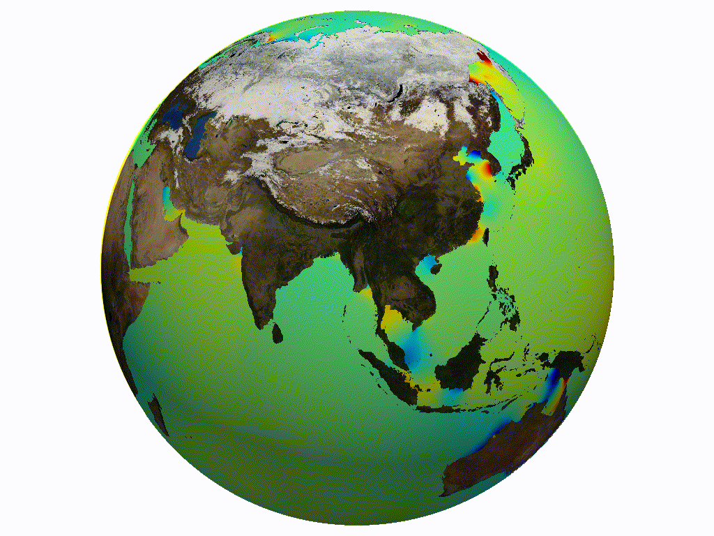
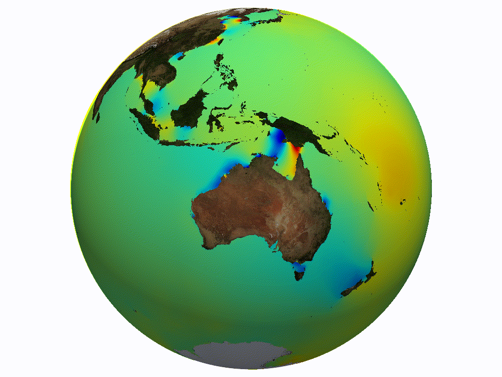
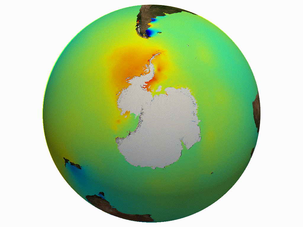
+Our laboratory develops comprehensive multi-process, multi-scale, integrated domain, and high resolution unstructured mesh models and codes that include the broad energy spectrum of the ocean ranging from trans-tidal waves, ordinary tide waves, infra gravity waves to ordinary gravity waves. Processes include tides, wind and atmospheric pressure driven flow, wind waves, wind wave current interaction, rivers, rainfall, baroclinically driven circulation, and sediment erosion. Our models apply large domains that extend from the deep ocean, over the continental shelf, into coastal waters, and across the floodplain and into vulnerable coastal riverine systems to comprehensively capture the wide range of scales and processes that occur without needing nested solutions that require inaccurate and non-robust boundary coupling strategies. Our laboratory has pioneered the use of global to channel scale coastal ocean models with mesh resolution varying by up to four orders of magnitude. The models provide high mesh resolution locally to resolve the system's physical features and its hydrodynamic processes as needed.
Current Research
+Our current research includes: the development of high order h-p adaptive Discontinuous Galerkin based circulation codes designed to be orders of magnitude more efficient and flexible than current generation codes; incorporating phase resolving wave processes including run-up directly into circulation codes; understanding resonant basin and shelf modes and shelf dissipation processes; incorporating regional and local rainfall and small scale channel routing capabilities into shallow water based codes; dynamically switching between gravity driven hydrologic physics and wave propagation shallow water equation physics on the coastal floodplain; sea ice interaction with wind waves and circulation; downscaling global ocean models into global high resolution coastal models to account for baroclinicity and sea level fluctuations; integration of regional models into global meshes; and improved automated mesh generation and re-generation at runtime. Current applications regions include developing the next generation of ESTOFS water level forecast models for NOAA focusing on Puerto Rico and the U.S. Virgin Islands; the U.S. East and Gulf coasts, and Alaska.
Teaching and Mentoring
+Our laboratory is also focused on teaching and mentoring of both undergraduate and graduate students, with lab members having been awarded 19 outstanding teacher and teaching assistant awards. Former graduate students and postdoctoral associates are in academia, government, and industry and work in leading positions in coastal and hurricane related studies.


