 |
 |
|
|
Recent developments: GLOCOFFS: GLObal Coastal Ocean Flood Forecasting System We are developing a global, tidal, wind, atmospheric pressure, wave, and baroclinic pressure gradient driven forecasting system. Currently the system covers the entire globe and is forced only with meteorology from the FV3-GFS model using 10-m wind velocities (U10 and V10) and atmospheric pressure reduced to mean sea level (PRMSL). The model is run every 6 hours and the output on GITHUB presents a 5 day maximum surge water level and timing. We are adding tides to the forecasts after having now completed several spherical projection system upgrades to ADCIRC. In addition, we will be forcing baroclinic pressure gradient terms in ADCIRC to simulate steric and the ocean current system effects on coastal water levels by using G-RTOFS computed temperature and salinity fields (see Pringle, W.J., J. Gonzalez-Lopez, B. Joyce, J. Westerink, A. van der Westhuysen, "Baroclinic Coupling Improves Depth-Integrated Modeling of Coastal Sea Level Variations around Puerto Rico and U.S. Virgin Islands," Journal of Geophysical Research - Oceans, DOI 10.1029/2018JC014682, 124, 2196-2217, 2019.) We will also be coupling the WAVEWATCH III model in order to include coastal wave driven setups and currents. Mesh resolution of the global ADCIRC mesh created using OceanMesh2D. |
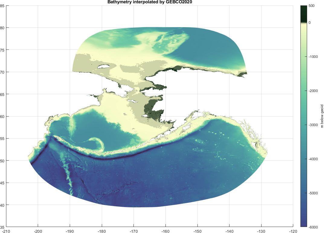
Recent developments: Alaska Coastal Ocean Forecast System - Regional (ALCOFS-R) A new predictive water level model for all of coastal Alaska is now operational with once per day updated forecasts. The ADCIRC storm surge model is the main engine, and is driven by tides forced at the open ocean boundary segments, tidal potential functions, self attraction and load tides, internal tide dissipation, GFS-FV3 winds and atmospheric pressures, and GFS ice coverage. An improved parameterization for air-sea-ice momentum transfer was implemented.

|
Recent developments: OceanMesh2D automated mesh generation OceanMesh2D is a set of MATLAB functions with preprocessing and post-processing utilities to generate two-dimensional (2-D) unstructured meshes for coastal ocean circulation models. Mesh resolution is controlled according to a variety of feature-driven geometric and topo-bathymetric functions. Mesh generation is achieved through a force balance algorithm to locate vertices and a number of topological improvement strategies aimed at improving the worst-case triangle quality. The placement of vertices along the mesh boundary is adapted automatically according to the mesh size function, eliminating the need for contour simplification algorithms. The software expresses the mesh design and generation process via an object-oriented framework that facilitates efficient workflows that are flexible and automatic. Reference: Roberts, K.J., W.J. Pringle, J.J. Westerink, "OceanMesh2D 1.0:MATLAB-based software for two-dimensional unstructured mesh generation in coastal ocean modeling," Geoscientific Model Development, https://doi.org/10.5194/gmd-12-1847-2019, 12, 1847-1868, 2019.
|
Recent developments: Global Tide Gauge Database A consolidated map of tidal constituent data produced by Willam Pringle at stations around the world, compiled from various sources as listed below. Many of the data sources directly provide the tidal harmonics while others we have applied UTIDE on up to 21 years of water level data in order to extract tidal constituents. All amplitudes are in meters, and all phase lags are in degrees referenced to GMT. Sources: "truth" gauges: ftp://ftp.legos.obs-mip.fr/pub/FES2012-project/data/gauges/2013-12-16/. NOAA_Database: https://tidesandcurrents.noaa.gov/stations.html?type=Harmonic+Constituents JMA_Database: http://www.data.jma.go.jp/kaiyou/db/tide/suisan/station2017.php KHOA_Database: http://www.khoa.go.kr GESLA_NoRepeats: https://gesla.org/ UHSCL_Fast: ftp://ftp.soest.hawaii.edu/uhslc/fast/ |
Copyright@2019 University of Notre Dame Notre Dame, IN 46556 Site updated August 2019 |